- copy")

 System Advantages

Utilizing InSAR technology to obtain large-scale and precise information on the deformation of the urban surface and facilities, comprehensively monitor, analyze and locate all disaster risk areas and individual facilities in the city through the retrospective assessment of historical deformation images, and carry out a refined urban medical checkup.

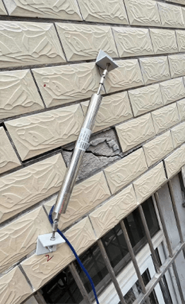
Accurately grasp the cracking, tilting, and settlement of urban complexes, old houses, ancient buildings, and artificial facilities on the surface and the settlement of the surrounding areas, automatically identify and classify the level of dangerous houses, and realize risk management and control
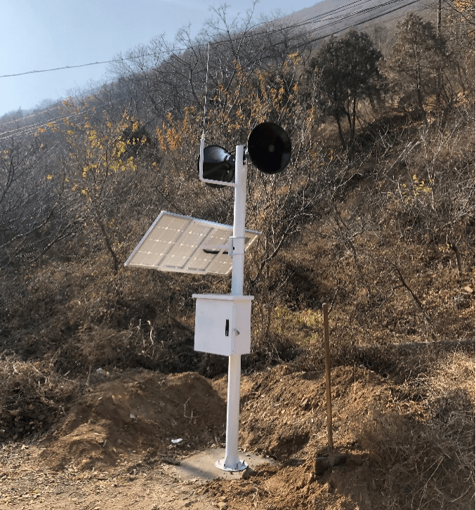
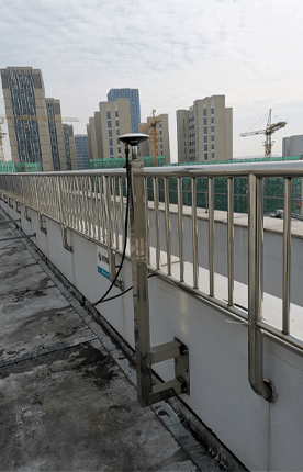
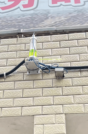
To establish a monitoring system integrating multiple sources of sensors such as Beidou, geotechnical, hydrological, meteorological, etc. for dangerous buildings with cracking, tilting, settlement, etc., so as to grasp the safety status of dangerous buildings in real time and realize the fine physical examination of dangerous buildings.

Utilizing big data technology and combining a variety of monitoring and sensing equipment with collaborative monitoring and linkage control means, it has constructed a dynamic and hierarchical early warning mechanism for the safety of housing structures. Early warning management and efficient control of the safety status of existing urban buildings have been realized.
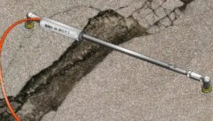
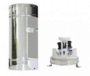
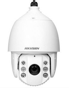
Monitoring elements 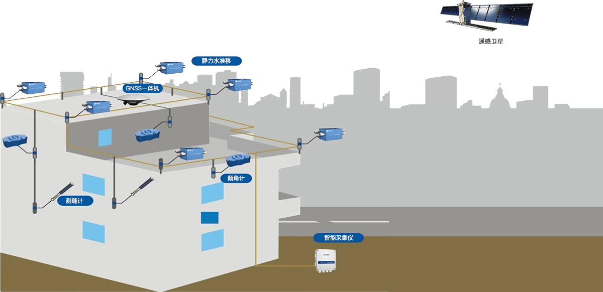
 Solution Architecture
 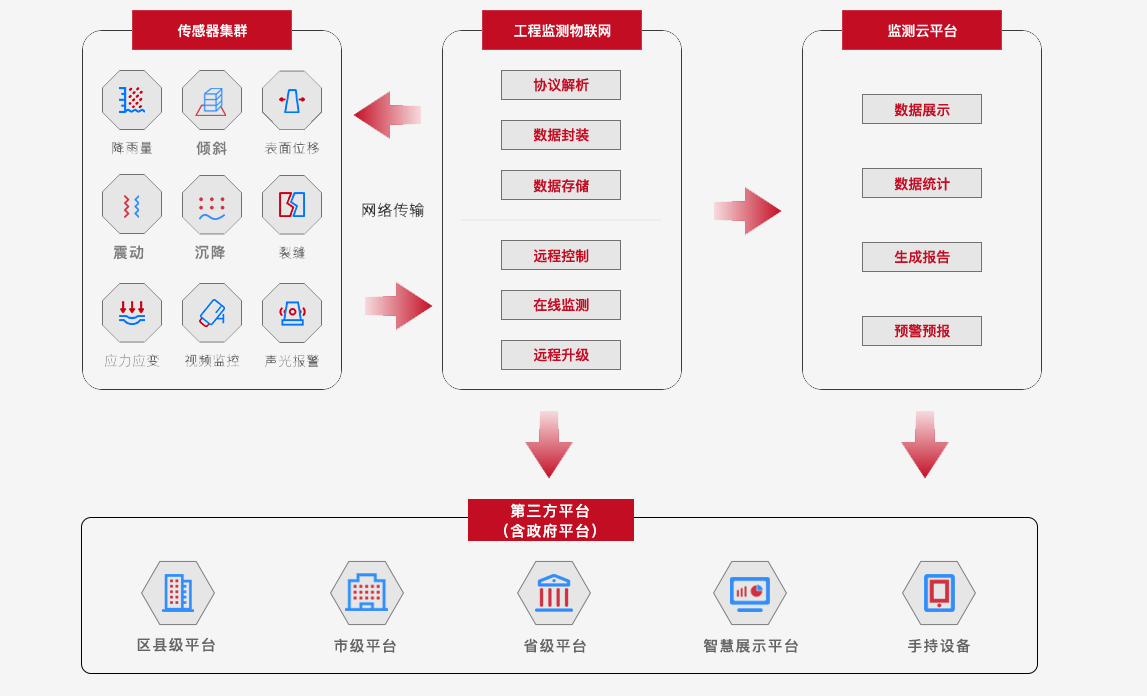 system platform
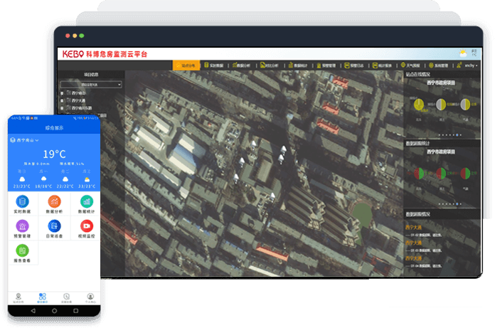

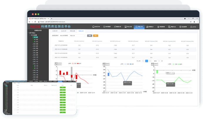
A single chart synthesizes information from multiple monitoring programs

Multi-source data collection and fusion technology, multi-means early warning analysis, customizable reporting services

WeChat small program and mobile APP multi-channel display monitoring project, support inspection data entry, flexible operation
Risk Analysis Functional Module 
Monitoring the overall status of early warning in the region
GIS + 3D Visualization Integration
Beidou + geotechnical, meteorological and other multi-source sensor fusion

Red, yellow, orange and blue warning information
Comprehensive analysis of the causes of early warning
Leveled Alert Push
SMS, email and other push methods

Trend analysis of Beidou, geotechnical monitoring data
Multi-source data correlation analysis
Stability assessment analysis of the monitoring area

Automatically generated by the system according to the settings
Daily, weekly, monthly and annual monitoring reports
 Project Cases
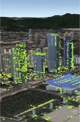


Contact: Kobo
Telephone: 199 4164 0135 (micro letter with number)
E-mail: kebobds@163.com
Headquarter: Room 906, Building 1, Chuangxinhui, No. 61 Wenjing Road, Jiangbei New District, Nanjing, Jiangsu Province, China.
Nanchang Office: Room 406, 4/F, Block A, Huigu Industrial Park Phase I, No. 899 Xuefu Avenue, Honggutan District, Nanchang, China
Xi'an Office: Room 1402, Block D, Haibo Plaza, Fengcheng 9th Road, Xi'an Economic and Technological Development Zone, Xi'an, China
Anhui Office: Shuangchuang Service Center of Huainan High-tech Zone
Fujian Office:3F, No. 3, Meiren Industrial Zone, Zishan Town, Huian County, Quanzhou City, China
Yunnan Office: Harmony Community, Lanping County, Nujiang Lisu Autonomous Prefecture
© 2012-2024 Jiangsu Kibo Spatial Information Technology Co. Su Gong Network Security No. 32011202000665 Su ICP No. 13042515-1