- copy")
 System Advantages

shot
A single map showing the list of items globally,
location, warnings, weather and other key information

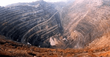
Live View 3D Visualization
Realistic three-dimensional base map 360 degrees
All-round display of monitoring area conditions

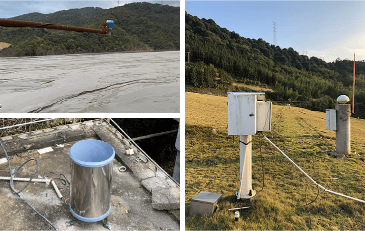
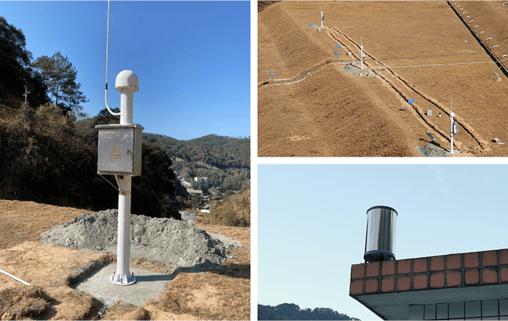
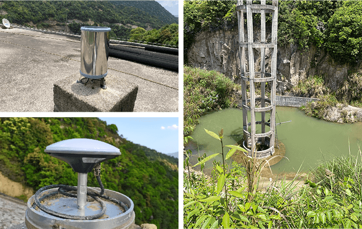
Beidou+Multi-source Sensor
Beidou, geotechnical, hydrological, meteorological,
Multi-source sensor fusion

Risk analysis and early warning
algorithms and models for risk assessment of tailings ponds.
Intelligent generation of risk warning information push program

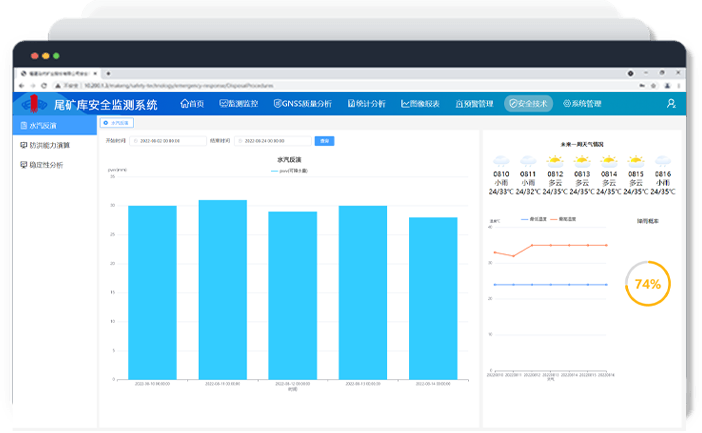
Short-range heavy rainfall forecast
Based on Beidou water vapor inversion technology
Short-range heavy rainfall forecasting
Harmonization of data access standards
In line with the Ministry of Emergency Response tailing pond data access standards, can access the provincial and municipal regulatory platforms
Monitoring elements
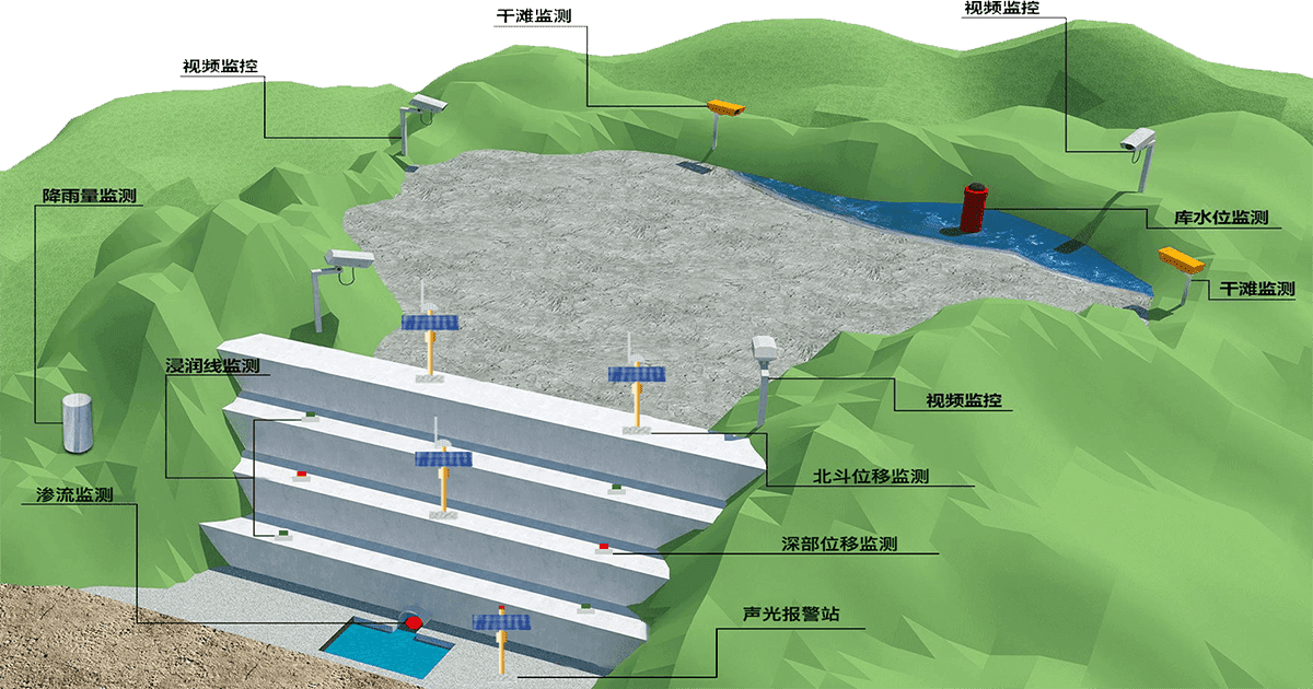
Monitoring elements
Solution Architecture
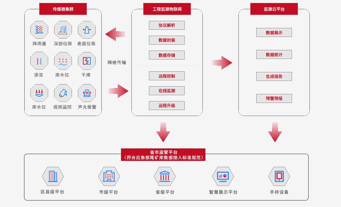
Big Data Platform

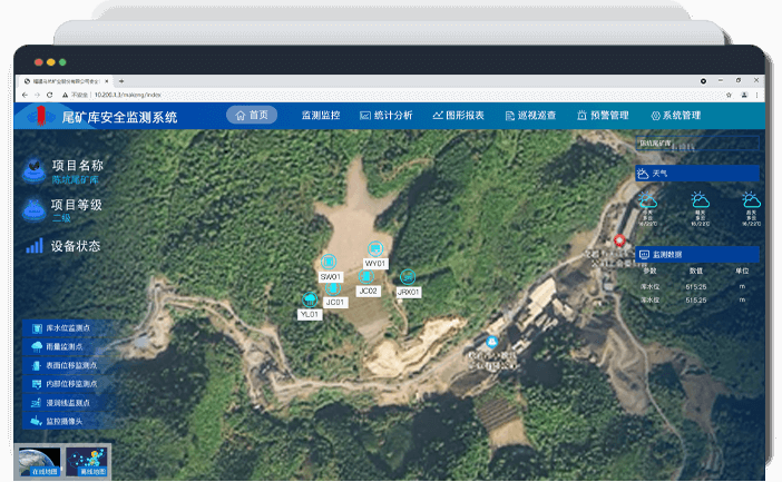
Monitoring platform
Water vapor inversion function module
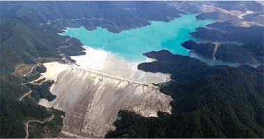
Project Cases
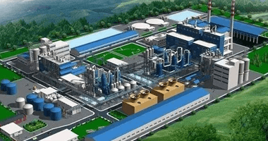
Other solutions


 Su Gong Network Security No. 32011202000665