- copy")
 prescription

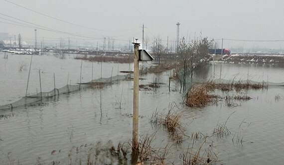
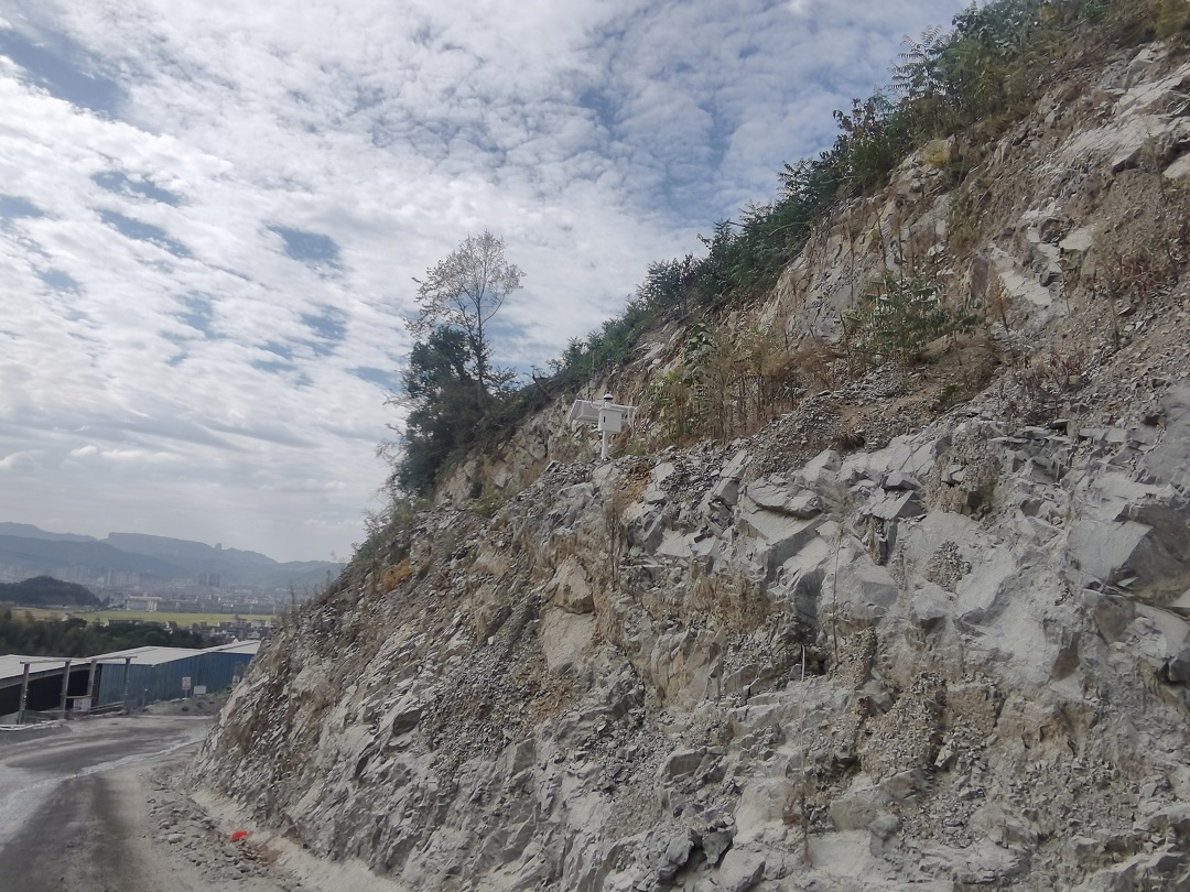
Beidou monitoring station


typical case


News Center
Congratulations to our company for successfully obtaining the type approval certificate of measuring instruments!
In an era of rapid technological advancement, accurate measurement ...
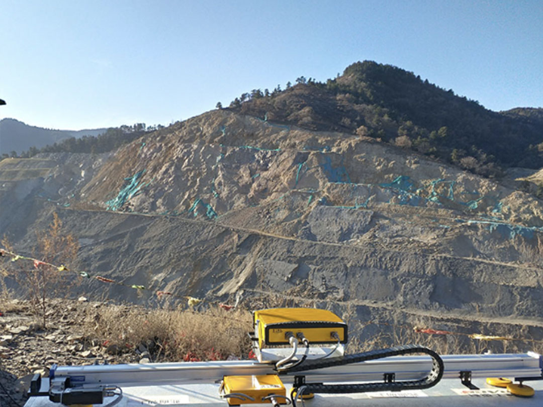
Slope radar makes mine safety hazards invisible
I. Mine Slope Background With open pit mines not ...

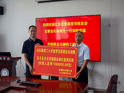
The company donated instruments and innovation funds to Anhui University of Science and Technology to help scientific and technological innovation!
On the afternoon of June 14, 2023, Jiangsu ...

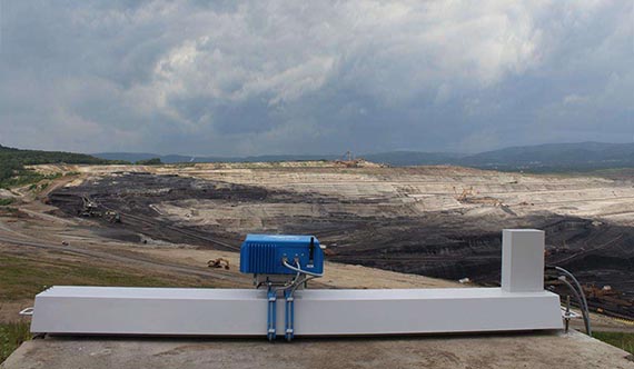
Successful Completion of Open Pit Safety Monitoring Project at Dagushan Iron Mine
Dagushan Iron Mine is located in the southeast of Anshan City, Liaoning ...

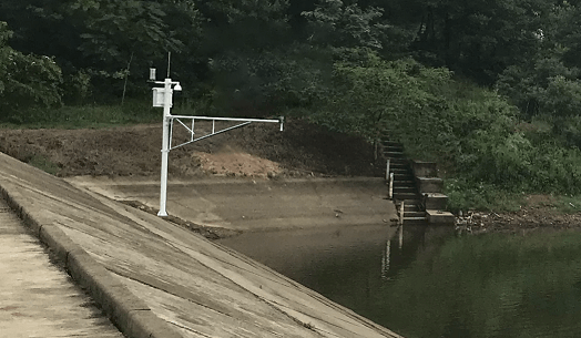
Tailings Storage Safety Manager-Yunnan Tailings Storage Safety Monitoring System
In November 2022, in response to the Yunnan ...
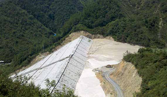
Zhejiang Wenling Daxi open pit mine slope safety monitoring
Wenling Daxi Mine is located in Wenling City, Zhejiang Province, China, in the Da ...
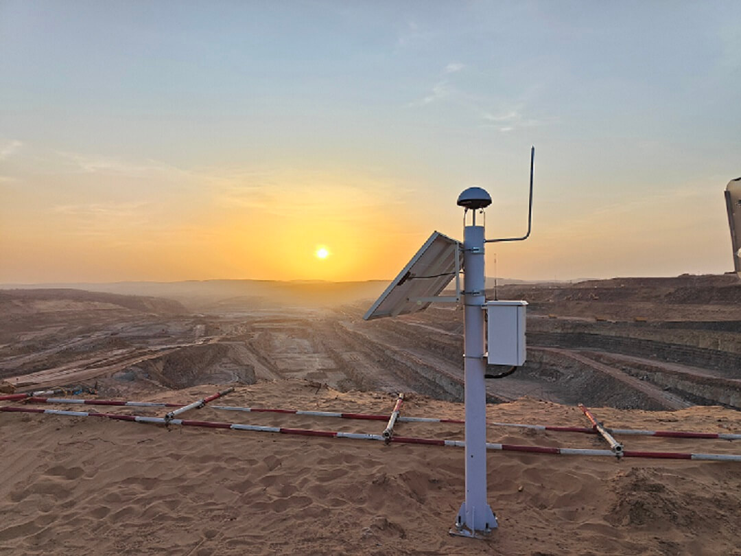
Inner Mongolia Changtan open-pit coal mine slope monitoring, effective prevention of slope disaster
Long Beach Open Pit Coal Mine belongs to ...
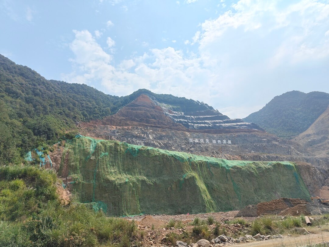
Zhejiang Hangzhou Tonglu mine slope monitoring, "safety first, prevention first"
Tonglu mine slopes are characterized by strongly to moderately weathered bedrock ...
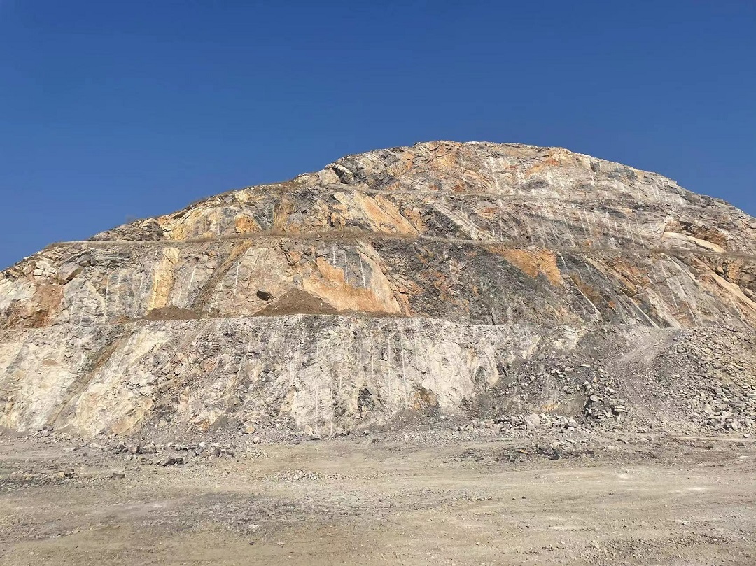
Anhui Leiming Mining Wang Shanwo Mine Safety Slope Monitoring
Anhui Leiming Mining Limited Liability Company's Wang ...
Congratulations to our company for successfully obtaining the type approval certificate of measuring instruments!
In the era of rapid technological development, precise measurement technology has become the development of many fields ...
Slope radar makes mine safety hazards invisible
I. Background of Mine Slope With the continuous mining of open pit mines, the slope body gradually becomes ...
The company donated instruments and innovation funds to Anhui University of Science and Technology to help scientific and technological innovation!
On the afternoon of June 14, 2023, Jiangsu Kobo Spatial Information Technology Limited ...
Contact Us
cooperative partner


 Su Gong Network Security No. 32011202000665