- copy")
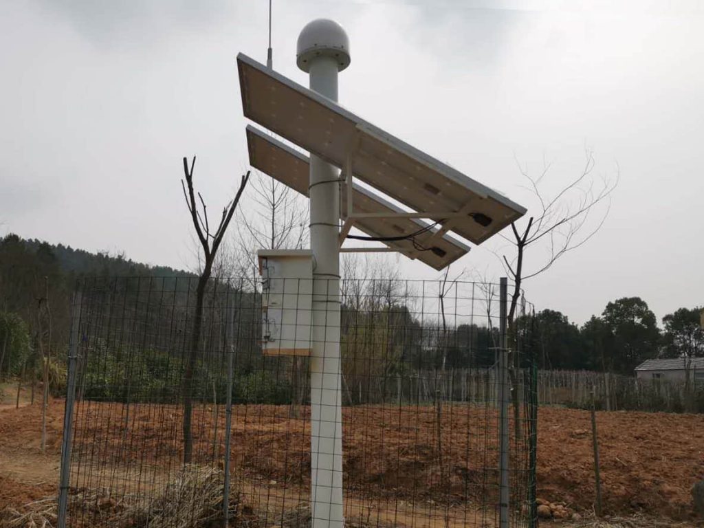
Lishui District of Nanjing belongs to the hilly mountainous area of Ningzhen-Yangyang, with low hills accounting for about72.5%In addition, the powdery clay of the Lower Shu Formation of the Upper Pleistocene of the Quaternary System is widely distributed in the hilly area, and under the influence of rainfall and human engineering activities, geologic hazards such as landslides and avalanches are more developed, and the area of geologic hazards-prone area is approximately150kmThe total area of the administrative region is approximately14%In the event of a landslide geologic disaster, it would cause incalculable damage to the neighboring villages, which are surrounded by villages.
2019surname Nian8In January, Cobo set up a geological hazard monitoring team to go to Jingshan to conductGNSSConstruction of the monitoring station was successfully completed after one month of effort2classifier for individual things or people, general, catch-all classifierGNSSBase stations and14classifier for individual things or people, general, catch-all classifierGNSSmonitoring stations, the system is currently operating stably to date.


 Su Gong Network Security No. 32011202000665